


 Unboxed")
")


Drone Technology to Help Transform the Agriculture Industry in India

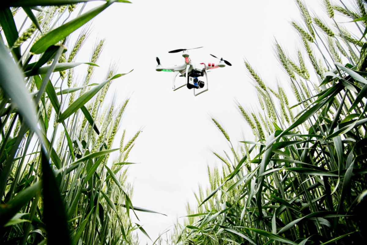
When the consumer drones first came into prominence, no one would have thought how it could lend a helping hand in almost every sector. Today drones are delivering parcels, are likely to reach moon to make way for rovers, and can be put to use for many commercial purposes. In India, these drones are now being put to use to learn about crop diseases and help to gather data to help agriculture in the country.
Agriculture Insurance Company (AIC) of India along with Skymet, weather forecasting company, conducted a brief demo in parts of Gujarat to test how drones can be supportive in the agriculture sector. The test led to the conclusion that drones allow the observation of agronomic indicators for every square meter, something a satellite cannot do.
Skymet CEO Jatin Singh more details about the plan saying:
[quote text_size=”small” author=”Jatin Singh” author_title=”CEO, Skymet”]
Remote sensing through unmanned aerial vehicles allows nondestructive sampling to observe agronomic indicators every square metre. We did a pilot project last year and will increase its coverage across Rajasthan and Gujarat this year.
[/quote]
Jatin further commented that at a time when land holdings are less and there is multi-cropping, they will be able to help Gujarat government in monitoring agricultural area and crop yield. The data could help AIC in giving farmers their insurance claims.
The drones are better suited for detailed analysis of the fields in comparison to satellites.
The unnamed aerial vehicles cover an area of 5 sq. km. in a single flight and send geo referenced images every five seconds together with. The images will help the specialists to identify the issues with the land and the crops and will assist them in finding solutions for them.
The chairman and managing director of AIC, P. J. Joseph pointed out its use in maintaining land records saying:
[quote text_size=”small” author=”P J Joseph ” author_title=”Managing Director, AIC”]
It’s a beneficial technology for states that have digitized land records or are in the process of digitizing. Pictures clicked by the unmanned aerial vehicles can be superimposed on digital maps of states and we can identify farms and crops sown.
[/quote]
The drone will help keep a track on crop position, control farm subsidies, detect pests, monitor nutritional and water stress on the crops, and they can even spray fertilizer and pesticides on the crops from above. Drone technology has found massive utility in the US and other developed nations. The use of this 21st century technology for the sake of agriculture is commendable and it will directly help farmers in the long run. We might find a lot of drones flying over the agricultural fields in the coming future and it will also double as a scarecrow.