


 Unboxed")
")


India is Readying its Own GPS System

The Global Positioning System or GPS has made our life extremely convenient. If you have access to a GPS device, you are never going to get lost on this planet. The GPS system is currently in control of the United States government. Now the Indian government’s plan to have its own navigation system is underway and got its 3rd satellite today.
ISRO successfully launched the PSLV-C26 rocket that sent the third satellite in the Indian System. The rocket lifted off from the Satish Dhawan Space Centre in Sriharikota at 1.32 am and injected the satellite into the orbit about 20 minutes later.
The Kargil war of 1999 had incited a need for an in-country navigation system. The US government back then had refused the request of the Indian government to use the navigation system to keep track of enemy movement. This led to the inception of the Indian Regional Navigation Satellite System (IRNSS.)
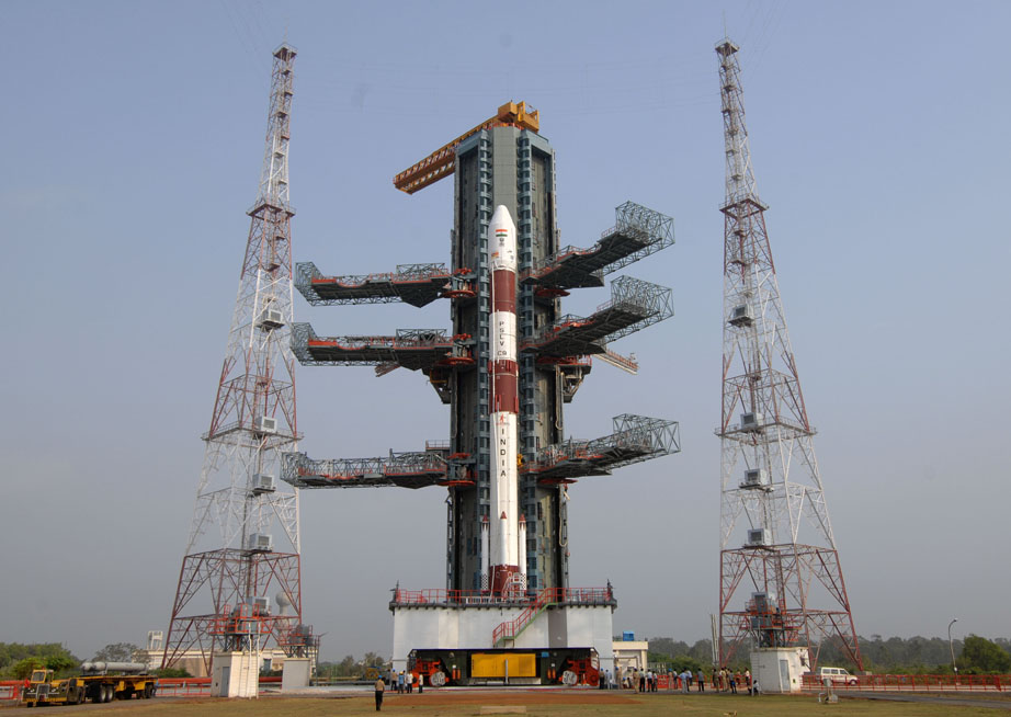
The 3rd Satellite of IRNSS Constellation was launched through PSLV-C26
The IRNSS will be a network of 7 satellites out of which 3 are already in orbit. The system is expected to be ready by its deadline of 2015, which is next year. Once fully functional, it will provide navigation support for terrestrial, aerial and marine navigation. Like the GPS and Russian GLONASS, it can also be integrated into mobile phones. But they should really think of a cool new name integrating with mobiles; it might be cool to have a navigation feature named in Hindi.
IRNSS is expected to have an accuracy of less than 20 m over the Indian Ocean region and less than 10 m accuracy over mainland India, which sounds awesome. It will have a coverage of 1,500–2,000 kilometres. It will provide two chief functions: Standard Positioning Service (SPS) which is accessible by all users and Restricted Service (RS), which will be encrypted for military use.
With the IRNSS becoming functional, India will join an elite league of countries with their own navigation systems. Currently, there are two functional systems of navigation: GPS and GLONASS. Apart from these there’s the planned European Union’s Galileo positioning system, China’s Beidou Navigation Satellite System and India’s IRNSS. This technological initiative taken by the country is appreciated, and its credit goes to the scientists at ISRO.


